BeachLens
Real-time beach conditions you can actually trust.
About
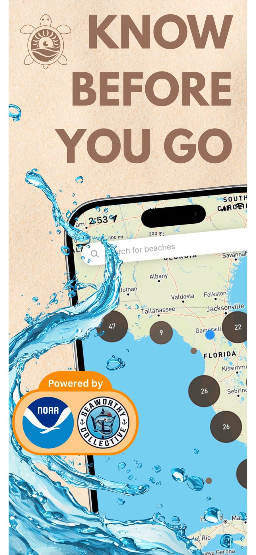
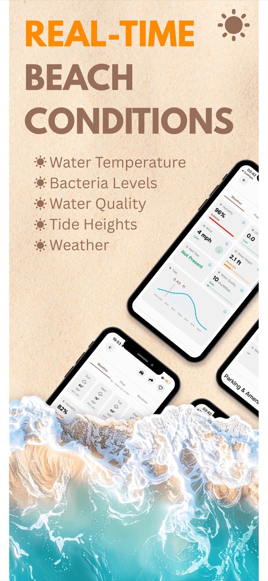
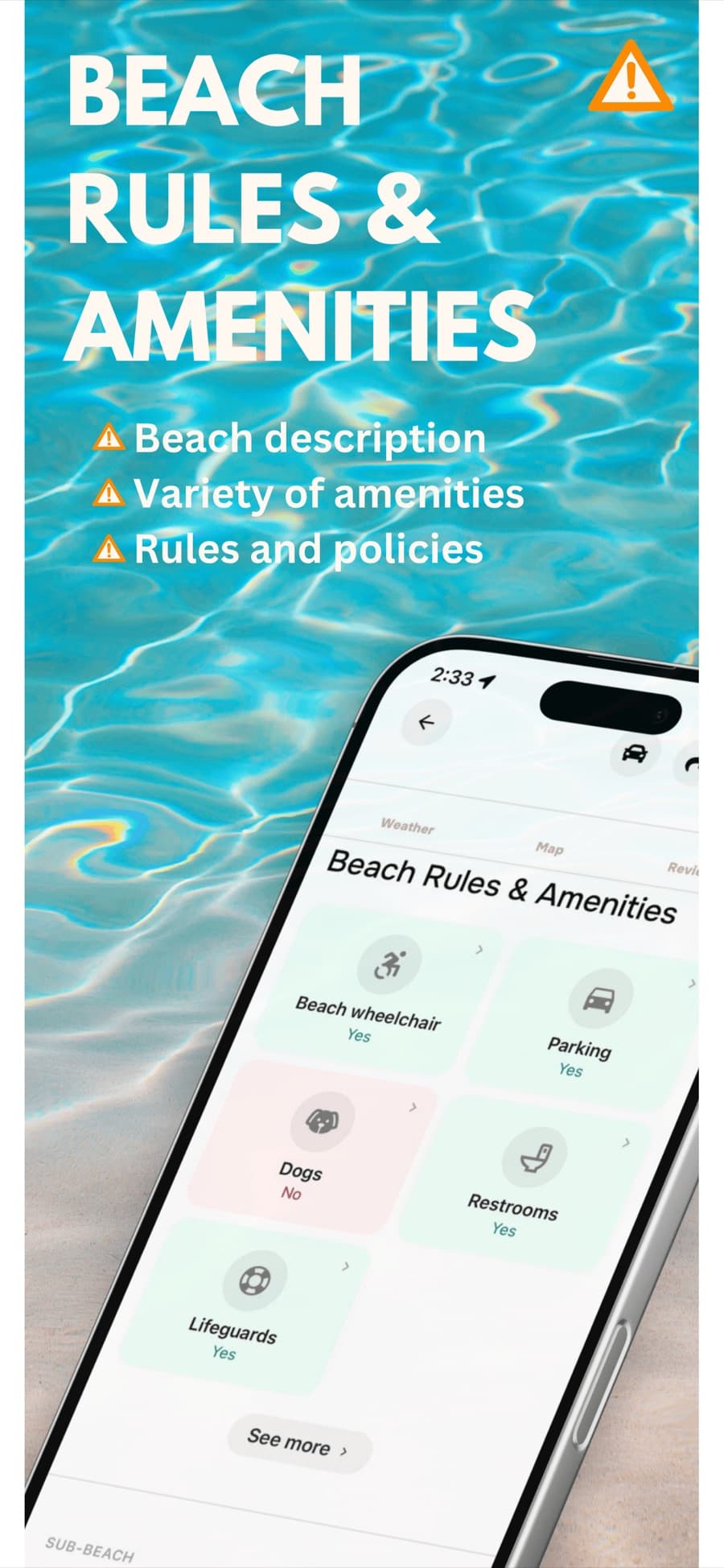
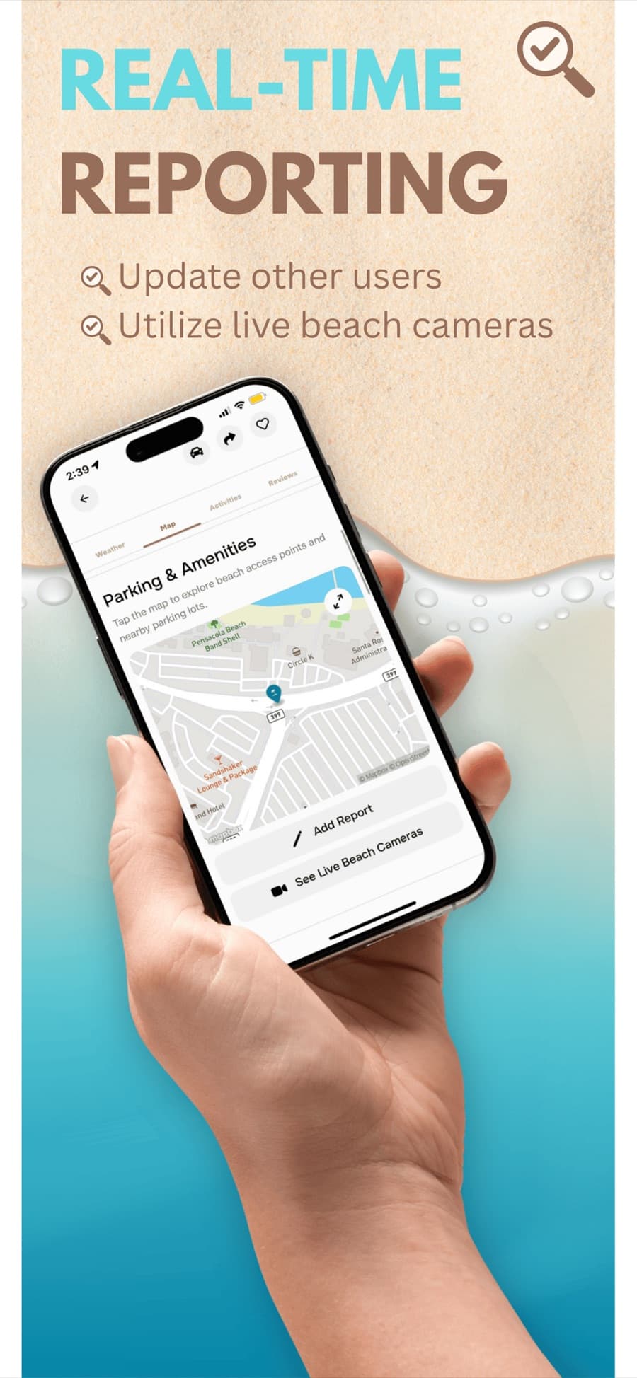
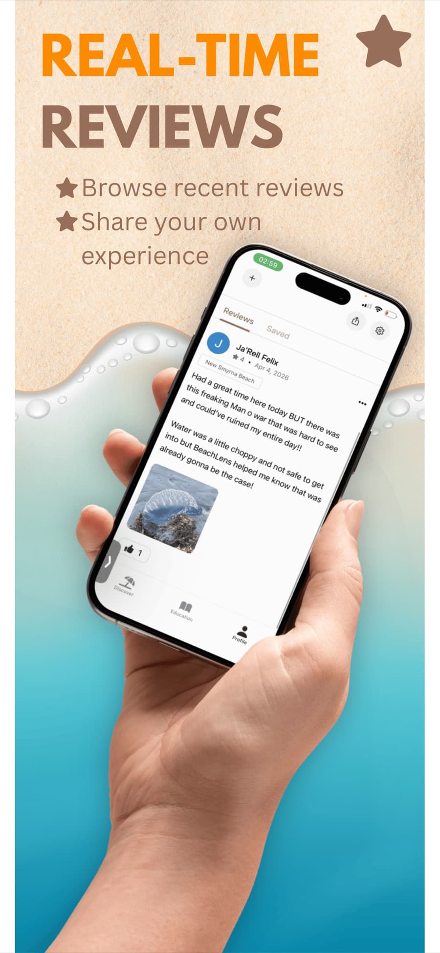
BeachLens answers one question well: is it actually a good time to go to the beach? It pulls real-time conditions, including weather, water temperature, wave height, wind, UV, tides, rip-current risk, red tide, water quality, and beach-flag status, into one honest read, then adds planning tools (beach maps, amenities, parking, lifeguards) and a Waze-style community feed where beachgoers report water clarity, crowds, marine life, hazards, and parking from the shoreline.
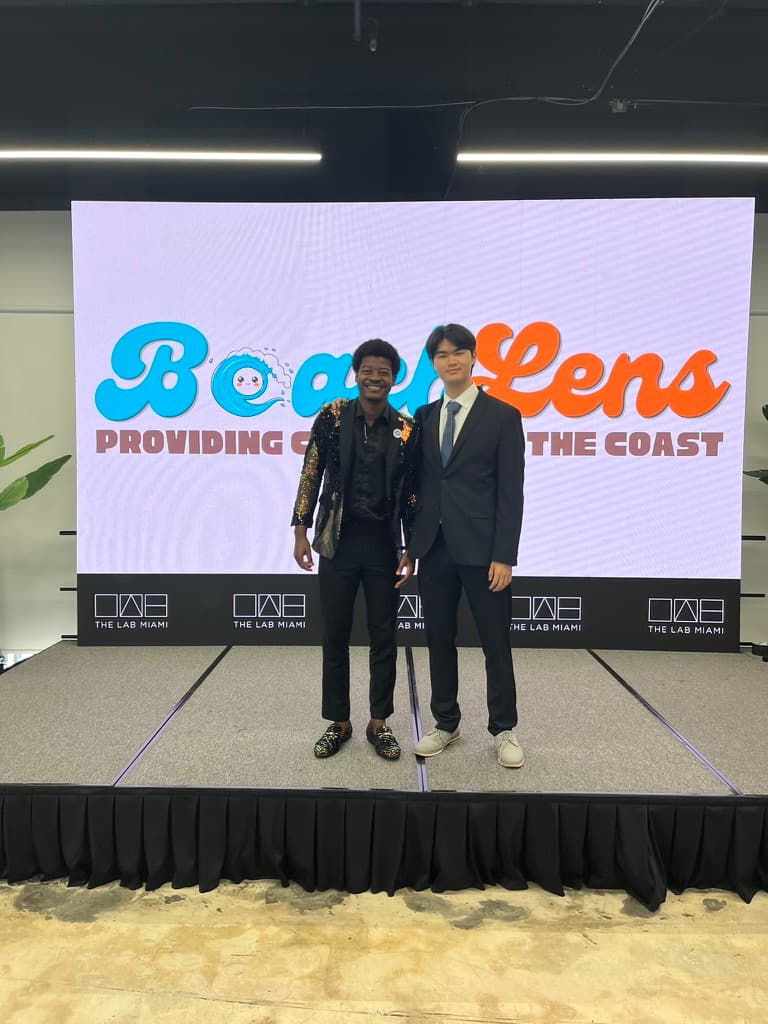
As co-founder and CTO, I built the serverless ELT pipeline that ingests and validates 11+ heterogeneous feeds, anchored by NOAA and environmental monitoring systems, and keeps them fresh in real time, plus a recommendation layer that turns real usage into safety insight. It is live on the App Store and Google Play with 5,000+ users across Florida, and I lead an 11-person team shipping it in Agile sprints.
Inspiration
Deciding whether a beach trip was worth it meant juggling NOAA tide tables, a weather app, and water-quality advisories. The data existed, it was just scattered and hard to trust.
BeachLens started as a simple idea: give the coast one clean, trustworthy dashboard. The hard part was never any single feed, it was making a dozen of them agree and stay fresh.
Takeaways
- Unifying messy real-world data is mostly a validation and freshness problem, not a modeling one.
- A serverless ELT pipeline let a small team keep latency low without babysitting infrastructure.
- Shipping to thousands of real users taught me to design for trust first and features second.
- Leading 11 people meant my highest-leverage work was clear tickets and tight feedback loops.